- Photos & Map
How would you like to arrive?
- Description
- Good to know
- Nearby
Download GPX file
- 5:05 h
- 15.69 km
- 614 m
- 614 m
- 1,007 m
- 1,562 m
- 555 m
- Start: Fiesch, valley station Fiesch-Eggishorn aerial cableway
- Destination: Fiesch, valley station Fiesch-Eggishorn aerial cableway
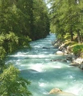
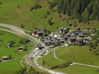
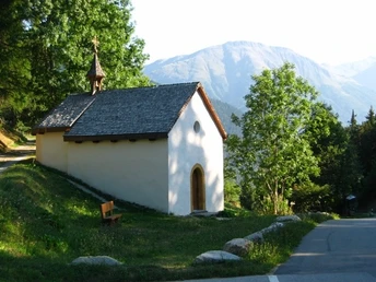
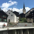
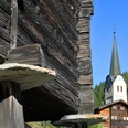
From the starting point at the valley station of the Fiesch aerial cableway, follow the Bregeraweg to the signpost to Bellwald. The path goes uphill through wonderfully shady forests toward the St. Anna chapel and then further over meadows to Bellwald, the highest point of the hike. You will have overcome around 600 meters of elevation up to here. Cross the village and hike on the slightly downhill path through a larch forest to Niederwald. Shortly after Niederwald, cross the Rotten river and hike on the other side of the valley without major inclines via Steinhaus downhill toward Mühlebach. After a detour to the gallows where criminals were once hanged and a visit to the old mill, continue hiking to Ernen. From here, the last section leads over the old mule track through the Ärnerfäld down to the Rotten and back to Fiesch on the other side of the river.
Good to know
Pavements
Best to visit
Directions
Tour information
Cultural Interesting
Loop Road
Stop at an Inn
Equipment
We recommend:
- Good footwear
- Weather-dependent clothing: always carry a waterproof vest
- Headgear
- Sunscreen
- Water bottle
- Picnic
- Camera
- Binoculars (optional)
- Hiking poles (optional)
- Printout of the hiking trail (click "Print" to download)
Directions & Parking facilities
Additional information
Aletsch Arena AG
Furkastrasse 39
CH-3983 Mörel-Filet
+41 27 928 58 58
info@aletscharena.ch
www.aletscharena.ch
Literature
Author´s Tip / Recommendation of the author
Safety guidelines
Use of hiking trails and information on this website is at your own risk. Local conditions may cause changes to the route. Aletsch Arena AG accepts no responsibility for the accuracy and completeness of the information on this website.
- Carry a map with you. Download the complete description of the hiking trail with a large-scale map by clicking "Print" at the top right of the page.
- Use only marked hiking trails and observe all signs and instructions - for your own safety, to protect grazing animals, and out of respect for wildlife.
- Close gates after passing through.
- Be considerate to other trail users, plants, and animals.
Map
National maps SwissTopo: 1:25,000: 1269 Aletsch Glacier
Nearby


