- Photos & Map
How would you like to arrive?
- Description
- Good to know
- Nearby
- 2:00 h
- 5.19 km
- 355 m
- 1,369 m
- 1,724 m
- 355 m
- Start: Oberwald, village
- Destination: Läger, Oberwald
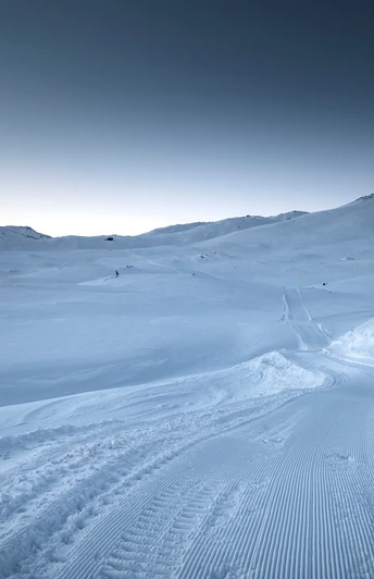
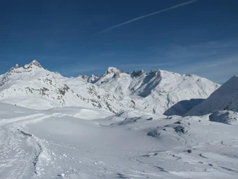
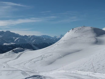
High up in the untouched summit landscape of the Grimsel Pass in winter? Let's get going!
The hike leads from Oberwald to Läger in the direction of the Grimsel Pass.
The winter hiking trail is prepared from the end of December to around the end of March, depending on the meteorological conditions.
This is also the place to go sledging!
Good to know
Best to visit
Directions
Tour information
Stop at an Inn
Equipment
- Good footwear and sturdy poles
- Detailed map or information material with good tour preparation
- Weatherproof (waterproof and windproof) warm clothing and headgear
- Sunglasses
- Good sun protection, even in cloudy weather. UV rays at high altitudes can be very strong, especially in winter.
- Provisions for your day in the great outdoors
- Helmet for the sledge run
Directions & Parking facilities
The timetables for the car transport Furka can be found at www.matterhorngotthardbahn.ch
Additional information
Information and reservation at www.goms.ch/en/package/grimselpass-experience
Reservation gondola ride Gerstenegg-Handeck: The transport capacity of the Gersteneggbahn is limited. Please reserve your ticket in advance at www.grimselwelt.ch/bahnen by 16:00 hrs the day before at the latest.
- Winter sports report at www.goms.ch/en/live/winter-sports-report
- Telephone number of rescue service: 144
- Avalanche bulletin and snow situation at www.slf.ch
Literature
- Winter map of Obergoms with cross country trail plan
- Holiday companion
Author´s Tip / Recommendation of the author
- Grimsel Shuttle: Convenient transport by Pisten-Bully to the Grimsel Pass
- Experience-oriented guest care with the snow sports instructor team of Damian Hischer
- Unforgettable toboggan run from Grimselpass to Oberwald with the toboggan
Safety guidelines
Take a map with you or download the complete description of the route with a large-scale map. Use only signposted paths and observe all markings and signs - for your own safety, for the protection of the landscape and in respect for wildlife. Be considerate of other users. Take your rubbish and that of others with you.
Weather conditions in the mountains can change very quickly and without warning. Adequate clothing and provisions (food and drink) are very important. If the weather is unstable, it is better to turn around early. Carry additional sun protection with you. UV rays at high altitudes can be very strong, especially in winter, even when the sky is overcast.
Plan your tour carefully and in detail. Inform yourself in advance about the current conditions (avalanche danger, cross-country ski runs, winter hiking trails, snow trails and road conditions) and weather conditions. The winter sports report provides you with valuable information from the region.
Map
Nearby


