- Photos & Map
How would you like to arrive?
- Description
- Good to know
- Nearby
Download GPX file
- 2:10 h
- 6.19 km
- 260 m
- 259 m
- 926 m
- 1,187 m
- 261 m
- Start: Termen, village square
- Destination: Termen, village square
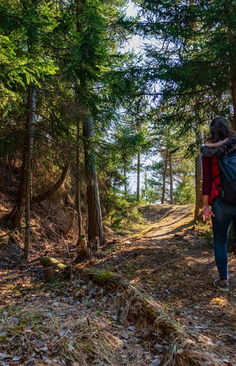
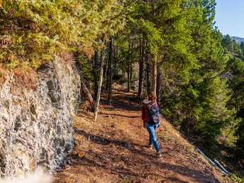
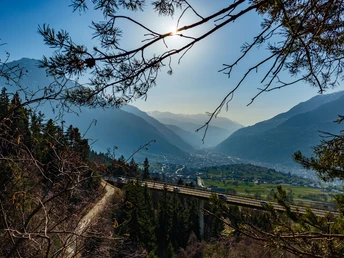
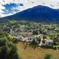
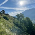
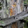
The circular route starts at the village square in Termen and leads up the mountain path towards Gunzi. At the Ledi, turn left. After a few meters on the road heading towards Z'Gartu, the path turns right into the forest. Leisurely and slightly ascending, you hike with a great view into the valley along the old irrigation channel through the forest up to Gmeini Egga. The irrigation channel was buried years ago and is no longer visible today. Along the way, a small wooden bridge is crossed and a solid wooden bench invites you to a short rest with a view. After reaching the little road, walk past the Scheeni sports field to the chapel at Burgspitz. After another brief pause, return towards Gunzi and back via the mountain path to the starting point at the village square in Termen.
Good to know
Best to visit
Directions
Village square – Gunzi – Gmeini Egga – Burgspitz – Village square
Tour information
Loop Road
Equipment
Directions & Parking facilities
Author´s Tip / Recommendation of the author
Safety guidelines
Nearby


