- Photos & Map
How would you like to arrive?
- Description
- Good to know
- Nearby
Download GPX file
- 0:45 h
- 1.96 km
- 16 m
- 16 m
- 1,369 m
- 1,385 m
- 16 m
- Start: Oberwald, Tourist Information
- Destination: Oberwald, Tourist Information
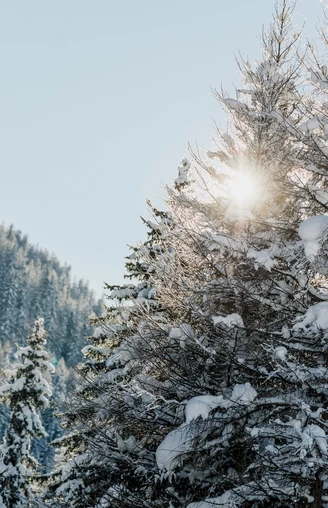
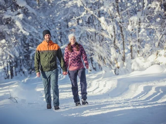
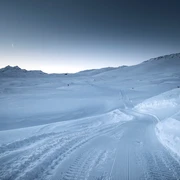
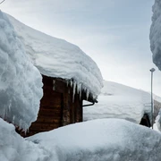
The Pischenwald (forest) lines Oberwald in a dreamy and fabulous way. The comfortable circular trail in deeply snow-covered mountain forest with mighty larch trees invites for relaxation. After leaving the fringed Pischewald, we recommend a breather at the legendary St. Niklaus Chapel, with its far-reaching view over the Rhone Valley.
Wintersportbericht: http://www.obergoms.ch/wispo/index.php
Good to know
Best to visit
Directions
Tour information
Loop Road
Equipment
- Good footwear and walking sticks
- Sun and rain protection and warm clothing
- Detailed map or information material with good tour preparation
- Provisions for your day in the great outdoors
- Pocket pharmacy and mobile phone for emergencies
Directions & Parking facilities
The timetables for the car transport Furka can be found at www.matterhorngotthardbahn.ch
Additional information
- Winter sports report at https://www.obergoms.ch/winter-report
- Time table www.sbb.ch
- Telephone number of rescue service: 144
- Avalanche bulletin and snow situation at www.slf.ch
Literature
- Winter map of Obergoms with cross country trail plan
- Holiday companion
Author´s Tip / Recommendation of the author
Safety guidelines
Take a map with you or download the complete description of the route with a large-scale map. Use only signposted paths and observe all markings and signs - for your own safety, for the protection of the landscape and in respect for wildlife. Be considerate of other users. Take your rubbish and that of others with you.
Weather conditions in the mountains can change very quickly and without warning. Adequate clothing and provisions (food and drink) are very important. If the weather is unstable, it is better to turn around early. Carry additional sun protection with you. UV rays at high altitudes can be very strong, especially in winter, even when the sky is overcast.
Plan your tour carefully and in detail. Inform yourself in advance about the current conditions (avalanche danger, cross-country ski runs, winter hiking trails, snow trails and road conditions) and weather conditions. The winter sports report provides you with valuable information from the region.
Map
Nearby


