- Photos & Map
How would you like to arrive?
- Description
- Good to know
- Nearby
Download GPX file
- 2:30 h
- 6.58 km
- 361 m
- 361 m
- 1,337 m
- 1,673 m
- 336 m
- Start: Zwischbergen, Bord
- Destination: Zwischbergen, Bord
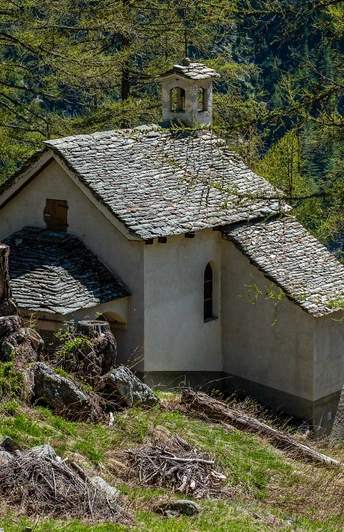
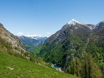
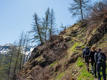
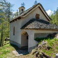
Starting from the restaurant Bord in the Zwischbergental, you ascend towards Wiler "Ze Hiischinu" and continue following the Stockalperweg to the "Chatzhalte". Now turn left at the signpost. The hiking trail leads you directly to the chapel Maria Bru. Built in 1715, this place soon became a pilgrimage site. In 1983, the municipality of Zwischbergen had the Marian sanctuary renovated. During a short break, you can consider whether you want to take the shortcut directly back to the starting point or complete the entire circular hike.
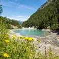
The signposted circular route continues into the Zwischbergental to "Wits Bru" by the Tannuwald power plant. From here you walk along part of the gravel road back towards Bord. The signpost shows you when you can turn left. After a short ascent, you reach the restaurant in Zwischbergen, Bord - your starting point.
Good to know
Pavements
Best to visit
Directions
Zwischbergen, Bord - Ze Hiischinu - Chatzhalte - Chapel Maria Bru - Wiits Bru/Tannuwald - Zwischbergen, Bord
Tour information
Loop Road
Stop at an Inn
Equipment
Weather-appropriate equipment is indispensable. Good, sturdy mountain boots are strongly recommended for all hikes.
Directions & Parking facilities
The journey by PostBus runs from Brig train station over the Simplon to Gondo. In the summer months, the Publicar runs to the Zwischbergental. Attention: A reservation for the Publicar is required by 4:00 p.m. the day before.
Additional information
More information at www.brig-simplon.ch
Literature
The Ecomuseum Simplon foundation offers various books about Zwischbergen and the trails.
Author´s Tip / Recommendation of the author
Enjoy the tranquility in the Zwischbergental on the terrace of the restaurant in Bord.
Safety guidelines
The hike is done at your own risk. Insurance is the responsibility of the hiker.
Map
Hiking maps are available at the tourist office.
Nearby


