- Photos & Map
How would you like to arrive?
- Description
- Good to know
- Nearby
Download GPX file
- 3:55 h
- 10.24 km
- 700 m
- 700 m
- 1,299 m
- 1,998 m
- 699 m
- Start: Ganter valley, Eisten
- Destination: Ganter valley, Eisten
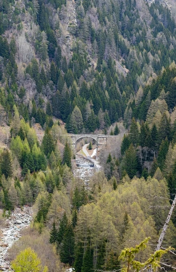
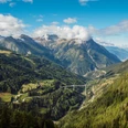
The hiking trail leads you along the old Napoleon road from the new to the old Ganter Bridge. Alternatively, the route can be started on the road leading under the Ganter Bridge to the old bridge. The path turns left towards Rosswald and steadily climbs up to the gorge where the Mischibach flows into the Ganter valley. Following the path further, you reach a clearing that opens the view to the Ganter bridges through the Ganter valley up to Glishorn.
The path continues to ascend, partly along the pressure water pipeline, until the entry to the Alpine Pass road. Now you follow this route to Alpe Stafel. Shortly afterwards, turn right towards "Eisten". The path leads through dreamy hamlets and meadows back to the starting point.
Good to know
Pavements
Best to visit
Directions
Tour information
Loop Road
Equipment
Directions & Parking facilities
Travel by post bus to the bus stop "Eisten, Ganter". The stop is located directly in front of the Ganter Bridge.
The hiking trail starts at the bus stop.
Additional information
Further information is available at the tourism office: www.brig-simplon.ch
Author´s Tip / Recommendation of the author
Safety guidelines
Map
Nearby


