- Photos & Map
How would you like to arrive?
- Description
- Good to know
- Nearby
Download GPX file
- 1:30 h
- 4.70 km
- 151 m
- 151 m
- 1,826 m
- 1,975 m
- 149 m
- Start: Rosswald, mountain station
- Destination: Rosswald, mountain station
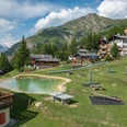
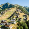
Three circular hiking routes have been established in Rosswald for walkers and hikers. The routes are marked in three colors.
- Blue: Bergwasser circular route
- Red: Saflischwald circular route
- Green: Rosswald circular route
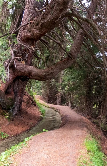
In this hike, you follow the blue signposts. From the mountain station, you walk up to the parking lot. Afterwards, continue on a wide forest road towards 'Stafel'. Follow the well-marked path until you reach the water ladder. Now, walk along the small brook. After the beautiful, pleasant hike, you return to Rosswald.
Good to know
Pavements
Best to visit
Directions
Tour information
Loop Road
Equipment
Directions & Parking facilities
By postbus from Brig and then by cable car to Rosswald.
Additional information
The water channel carries water from early June to early October each year.
Author´s Tip / Recommendation of the author
Safety guidelines
Map
Nearby


