- Photos & Map
How would you like to arrive?
- Description
- Good to know
- Nearby
- 5:45 h
- 16.15 km
- 1,015 m
- 1,015 m
- 1,759 m
- 2,686 m
- 927 m
- Start: Rothwald, Schutzhaus
- Destination: Rothwald, Schutzhaus
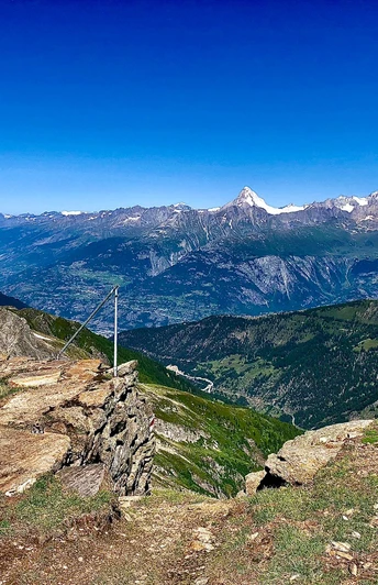
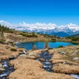
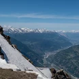
This demanding hike starts at the Rothwald, Schutzhaus bus stop. Along a small road and past various huts, you reach Wasenalp. The path then leads past Wintrigmatta to Scheene Biel. Now the more challenging part of the hike begins on the alpine route up to Furggubäumlicke. However, the ascent is rewarded with a beautiful panoramic view of the Valais and Italy. After a relaxing break, you can tackle the descent along the same route.
Good to know
Pavements
Best to visit
Directions
Restaurant Schutzhaus near Rothwald - Rothwald - Wasenalp - Wintrigmatta - Scheene Biel - Furggubäumlicke
Furggubäumlicke - Scheene Biel - Wintrigmatta - Wasenalp - Jochtwald - Restaurant Schutzwald
Equipment
Directions & Parking facilities
There are some parking spaces available at the Restaurant Schutzhaus.
If no parking spaces are available there, you can also leave your car at Restaurant Ganterwald. (5 minutes on foot away)
Additional information
Author´s Tip / Recommendation of the author
Safety guidelines
Map
Nearby


