- Photos & Map
How would you like to arrive?
- Description
- Good to know
- Nearby
- 2:30 h
- 5.46 km
- 847 m
- 1,998 m
- 2,845 m
- 847 m
- Start: Simplon Hospiz, post bus stop
- Destination: Monte-Leone-Hütte
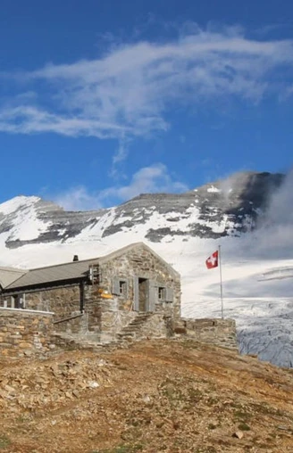
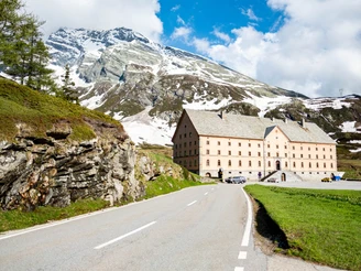
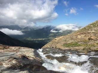
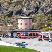
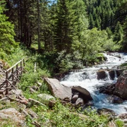
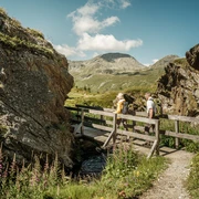
The ascent to the Monte Leone SAC hut (2,848 m above sea level) is from the Simplon Hospiz through the Chaltwassertälli. The hike leads past the huts and houses and the station of the former ski lift. After around half an hour, the trail continues alongside a water channel in the direction of Chaltwassertälli. The path continues to climb and the water channel disappears. Several mountain streams are crossed on the way out. There are small crossings made of wooden bridges and ropes.
As soon as the blue lake and the Monte Leone hut appear in sight, it is only a stone's throw until you reach your destination.
There are several options for the descent: Hike down the same route towards the Simplon Pass or via Mäderlicke to Rothwald.
Good to know
Pavements
Best to visit
Directions
Simplon Hospiz - Chaltwassertälli - Monte Leone Hütte
Tour information
Stop at an Inn
Equipment
Directions & Parking facilities
Author´s Tip / Recommendation of the author
Safety guidelines
This hike is not recommended in the rain, as the mountain streams can swell considerably and it is no longer possible to cross them safely.
Map
Nearby


