- Photos & Map
How would you like to arrive?
- Description
- Good to know
- Nearby
Download GPX file
- 5:00 h
- 14.00 km
- 939 m
- 939 m
- 1,157 m
- 2,094 m
- 937 m
- Start: Alte Kaserne, post bus stop
- Destination: Alte Kaserne, post bus stop
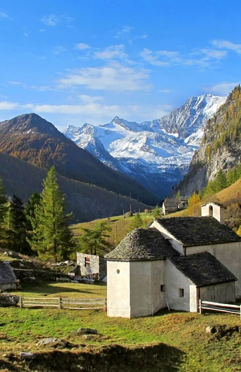
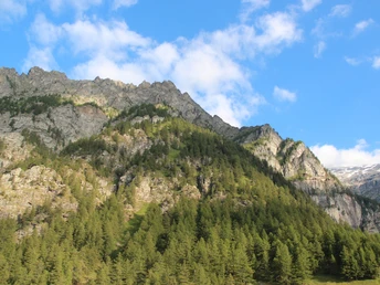
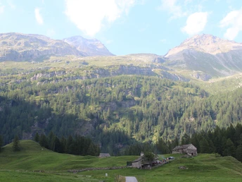
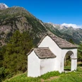
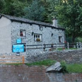
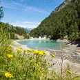
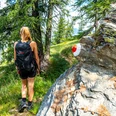
The starting point, the stop "Alte Kaserne," is easily accessible by public transport or private vehicle. With a steady ascent, you cover about 900 meters of elevation. The circular route offers varied views of the Alpje and the surrounding mountains.
Good to know
Pavements
Street
Asphalt
Path
Best to visit
suitable
Depends on weather
Directions
Alpje circular route
Tour information
Loop Road
Equipment
Weather-appropriate equipment is essential. Good, sturdy hiking boots are strongly recommended for all hikes.
Directions & Parking facilities
By private vehicle or post bus to the Alte Kaserne in the Gondoschlucht.
Parking is available at the Alte Kaserne.
By post bus over the Simplon Pass to the stop, Alte Kaserne in the Gondoschlucht.
Safety guidelines
The hike is undertaken at your own risk. Insurance is the responsibility of the hiker.
Map
Hiking maps are available at the tourist offices in Simplon Village, on the Simplon Pass, and in Brig.
Nearby


