- Photos & Map
How would you like to arrive?
- Description
- Good to know
- Nearby
Download GPX file
- 5:30 h
- 14.58 km
- 990 m
- 990 m
- 1,219 m
- 2,134 m
- 915 m
- Start: Gabi, post bus stop
- Destination: Gabi, post bus stop
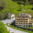
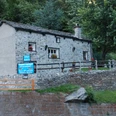
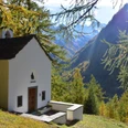
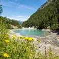
The tour starts below Simplon village in the Gabi. After crossing the Laggina stream, the ascent begins on the Stockalp trail (600 metres altitude difference) over the Feerbäärg, past the small, unique chapel and grazing herds of cattle to the Furggu pass. The closer Furggu ricks, the more exciting the view becomes.At the wooden lath, the trail turns right and continues to climb about 200 metres in altitude. Below the Guggilihorn, the trail continues until the view opens up towards the Laggintal valley with views of the waterfalls and the mountain peaks with glacier.The idyllic lake invites you to take a short rest before descending to the valley floor. After crossing the stream, the trail runs along the forest road back to the Gabi. Alternatively, you can take the turnoff in the direction of Simplon village.
Good to know
Pavements
Best to visit
Directions
Tour information
Loop Road
Equipment
- good footwear
- clothing suitable for the weather: always carry a waterproof jacket
- hat or cap
- sunscreen
- bottle for water
- picnic
- camera
- binoculars (optional)
- hiking poles (optional)
- printout of this hike (click «Print» icon, to download)
For certain walks:
- Swimwear
Directions & Parking facilities
Additional information
Author´s Tip / Recommendation of the author
Safety guidelines
For all hikes:
Bring a map. Download full description of this route including large-scale map by clicking on «Print» icon, top right of this page.
Use marked trails only, and observe all signposting – for your own safety, to safeguard grazing animals and to avoid disturbing wildlife.
Close gates after passing through.
Please be considerate to other trail users, and to the plants and animals.
Do not leave any waste in nature.
For mountain hikes:
Take extra care protecting yourself from the sun at altitude. UV radiation can be exceptionally strong, even in cloudy weather.
Plan hike carefully: take into consideration fitness level of each participant, weather forecast and season.
Weather conditions can change quickly in the mountains, without warning. Appropriate clothing is therefore essential, along with adequate supplies of food and water. In uncertain weather, turn back in good time.
For high-altitude hikes:
Inform others of the route you plan to take. Whenever possible, avoid going alone.
Do not venture onto glaciers without a mountain guide.
Take note of the warning signs that point out the constant danger in river beds and along watercourses below dams and reservoirs: water levels may rise rapidly without warning.
Map
Nearby


