- Photos & Map
How would you like to arrive?
- Description
- Good to know
- Nearby
- 4:45 h
- 11.10 km
- 939 m
- 939 m
- 1,527 m
- 2,466 m
- 939 m
- Start: Berisal
- Destination: Berisal
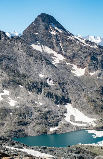
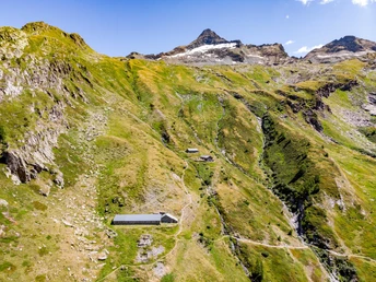
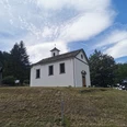
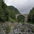
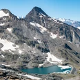
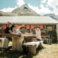
You hike from the "Berisal" bus stop slightly ascending towards the east. After crossing the stream, the path steadily rises to the Bortelhütte. Once at the hut, it is worth taking the ascent to the lake. On the descent, it is recommended to enjoy the view on the terrace of the Bortelhütte during a short break.
Good to know
Pavements
Best to visit
Directions
Equipment
Directions & Parking facilities
Parking spaces are available in Berisal. We recommend you travel by public transport.
At the beginning of the route is the post bus stop "Berisal, Kehr." It can be conveniently reached from Brig by post bus.
Additional information
Author´s Tip / Recommendation of the author
Safety guidelines
Map
Des cartes de randonnées sont disponibles à l'Office du Tourisme de Brigue.
Nearby


