- Photos & Map
How would you like to arrive?
- Description
- Good to know
- Nearby
- 6:00 h
- 7.25 km
- 1,085 m
- 1,085 m
- 2,105 m
- 3,194 m
- 1,089 m
- Start: Bortelhütten
- Destination: Bortelhütten
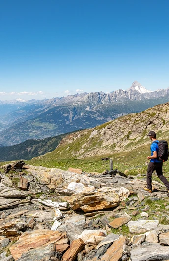
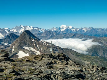
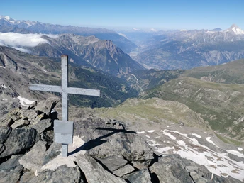
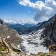
The route to the Bortelhorn (Italian Punta del Rebbio) in this description starts at the Bortelhütten. Please note that this is a high alpine route. The path is not marked and not visible in the scree on site. Piled-up rock formations assist with orientation.
The summit tour can be done as a two-day hike. On the afternoon of the first day, you hike from Rosswald or Berisal to the Bortelhütten. Here you can get food and spend the night. The next morning, after breakfast, you ascend to the Bortelhorn.
Anyone unfamiliar with mountain and high alpine tours should definitely take a mountain guide.
Good to know
Pavements
Best to visit
Directions
Tour information
Stop at an Inn
Summit
Equipment
The following equipment should be taken on alpine hikes:
- High mountain boots, possibly suitable for crampons
- Gloves
- Hat
- Clothing adapted to the season and weather
- Ice axe, rope, and safety equipment
- Maps 1:25,000
- Altimeter
- First aid kit with emergency blanket
- Mobile phone
- Enough food supplies
Directions & Parking facilities
From Brig you can reach Rosswald by post bus and cable car.
Berisal is also accessible by post bus from the Brig train station.
Additional information
Further info at the tourist office or at the SAC
Literature
Author´s Tip / Recommendation of the author
Safety guidelines
The following safety instructions should be observed for alpine hikes:
- Choose a hike that matches your abilities
- Mountain hiking is an endurance sport. Only start in a healthy and rested condition.
- Be attentive during ascent and descent
- Check the current weather forecast when planning. Turn back early in bad weather
- Equipment should be adapted to the hike
- Good hiking boots are essential
- Always stay on marked trails. Avoid shortcuts
- Regular breaks with food and drink are necessary to maintain concentration and performance
- Avoid solo hikes. Inform others about the planned route.
- Respect nature! Always take your trash with you and observe regulations in protected areas
All hikes are undertaken at your own risk. Insurance is the responsibility of the hiker.
Map
Nearby


