- Photos & Map
How would you like to arrive?
- Description
- Good to know
- Nearby
Download GPX file
- 1:30 h
- 3.58 km
- 228 m
- 228 m
- 1,742 m
- 1,967 m
- 225 m
- Start: Rosswald, mountain station
- Destination: Rosswald, mountain station
Three circular hiking routes have been established in Rosswald for walkers and hikers. The routes are marked in three colors.
- Blue: Bergwasser circular route
- Red: Saflischwald circular route
- Green: Rosswald circular route
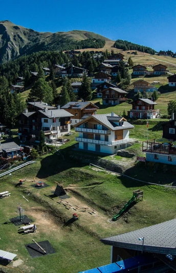
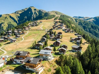
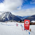
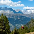
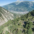
On this hike, follow the red signposts. Start at the Rosswald mountain station heading east. The path leads you past the swimming pool into the forest. Follow the path towards Riedalpji until you meet the paved Rosswald road. Above the road, follow the hiking trail through the Saflischwald back towards Rosswald. If you want to hike a bit further, you can climb the zigzag path up to the summer piste. The hiking trail (and this additional loop) is well signposted. Now you have the option to walk back to the mountain station.
Good to know
Pavements
Best to visit
Directions
Tour information
Loop Road
Stop at an Inn
Equipment
Directions & Parking facilities
Additional information
Author´s Tip / Recommendation of the author
Safety guidelines
Map
Nearby


