- Photos & Map
How would you like to arrive?
- Description
- Good to know
- Nearby
Download GPX file
- 44:40 h
- 122.58 km
- 6,815 m
- 6,801 m
- 909 m
- 2,863 m
- 1,954 m
- Start: Antrona
- Destination: Antrona
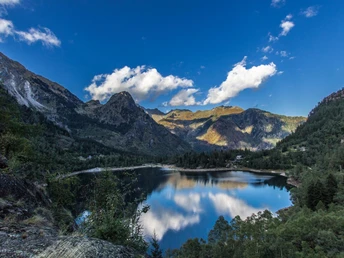
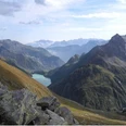
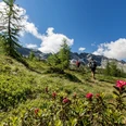
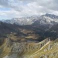
The hike follows good and signposted paths between 1000 and 2800 meters altitude. In Italy, it passes through the Antrona and Bognanco valleys, in Switzerland through the Saas Valley, Nanztal and the Simplon area.
On the Italian side, 8 mountain huts offer cozy overnight accommodation; on the Swiss side, the stage stops are secured by smaller hotels and guesthouses in the valley that are accessible by cable cars.
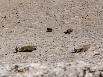
Catch glimpses of marmots, chamois and ibex accompanying your path. Enjoy the panoramic views of the Valais Alps, the Lepontine Alps and the Oberland.
Good to know
Pavements
Best to visit
Directions
Tour information
Loop Road
Stop at an Inn
Equipment
Directions & Parking facilities
Additional information
Further information can be found on our website: www.simplon.ch
Author´s Tip / Recommendation of the author
Safety guidelines
Map
Nearby


