- Photos & Map
How would you like to arrive?
- Description
- Good to know
- Nearby
Download GPX file
- 4:30 h
- 11.71 km
- 711 m
- 711 m
- 1,996 m
- 2,511 m
- 515 m
- Start: Simplonpass
- Destination: Simplonpass
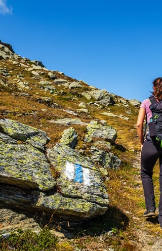
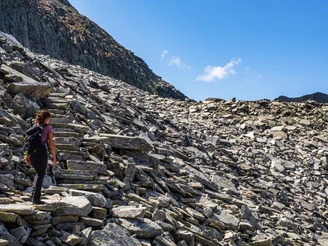
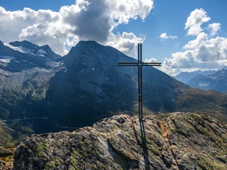
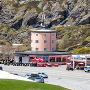
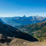
The tour starts on the Simplon Pass. You hike via Hoppsche to the Gälmji (transition between the Staldhorn and the Tochuhorn). The view from the Gälmji towards the Aletsch region, the Brigerberg and Brig invites you to take a short break. At the fork, choose the left path, which is marked white-blue-white (alpine hike). This leads around the north side of the Tochuhorn to the Lengritz. It continues past the Undru Rossusee on the hiking trail that comes from the Nanzlicke. From there, the descent leads back to the Simplon Pass.
Good to know
Pavements
Best to visit
Directions
Tour information
Loop Road
Stop at an Inn
Equipment
- High mountain boots possibly suitable for crampons
- gloves
- cap
- Clothes adapted to the season and weather
- ice axe, rope and safety equipment
- maps 1:25 000
- altimeter
- First aid kit with rescue blanket
- cell phone
- Enough provisions
Directions & Parking facilities
Additional information
Literature
Author´s Tip / Recommendation of the author
Safety guidelines
- Choose a hike that is appropriate for your abilities
- Mountain hiking is an endurance sport. Only set off in a healthy and rested condition.
- Stay alert during the ascent and descent
- When planning, pay attention to current weather reports. Turn back early in case of bad weather
- Equipment should be adapted to the hike
- Good hiking shoes are mandatory to wear
- Always stay on marked trails. Shortcuts should be avoided
- Regular breaks with food and drink are necessary to maintain concentration and efficiency
- Hiking alone should be avoided Inform others about the planned route.
- Respect nature! Always take litter with you and observe regulations in protected areas.
All hikes are at the hiker's own risk. Insurance is the responsibility of the hiker.
Map
Nearby


