- Photos & Map
How would you like to arrive?
- Description
- Good to know
- Nearby
- 7:10 h
- 15.91 km
- 994 m
- 2,203 m
- 791 m
- 2,735 m
- 1,944 m
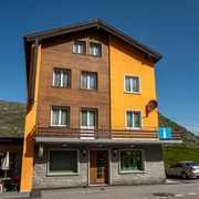
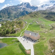
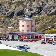
- Start: Simplonpass
- Destination: Glis, Holzji
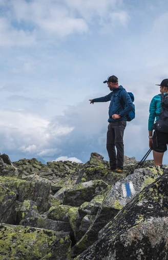
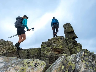
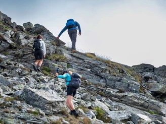
This challenging alpine route offers you a magnificent view of the Rhone Valley and Brig. However, you must be absolutely sure-footed and have a head for heights on the alpine route.
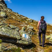
The tour starts as a mountain hike on the Simplon Pass towards Nanzlicka and on to the Spitzhorli. From now on, you are on the alpine route (marked blue and white). Cross the ridge from Spitzhorli to Fülhorn. Descend from the Fülhorn over the scree to the plateau in front of the Glishorn. The summit cross of the Glishorn can be reached via a short descent and a ridge that slopes down on both sides. The ridge crossing is not recommended in windy conditions.
The descent from the Glishorn to the Mattustafel is steep, so caution is advised. Do not miss the start of the small path approx. 250 meters west of the Glishorn summit. From Mattustafel to Glis you can use the wide corridor road. In Glis, at the Holzji bus stop, you can take the local bus to Brig.
Good to know
Pavements
Best to visit
Directions
Simplonpass - Spitzhorli - Fülhorn - Glishorn - Mattustafel - Glis
Tour information
Summit
Equipment
Directions & Parking facilities
Additional information
Author´s Tip / Recommendation of the author
Safety guidelines
Map
Nearby


