- Photos & Map
How would you like to arrive?
- Description
- Good to know
- Nearby
- 7:00 h
- 17.25 km
- 818 m
- 2,147 m
- 672 m
- 2,514 m
- 1,842 m
- Start: Simplonpass, Kulm post bus stop
- Destination: Brig, train station
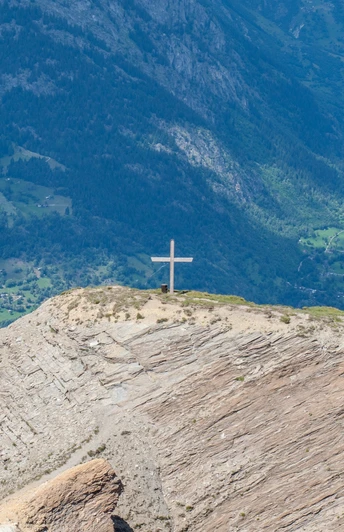
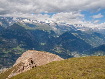
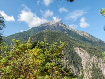
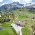
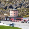
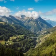
Challenging hike with a magnificent view of the Rhone Valley and Brig. From the Simplonpass (2005m), which connected the Valais with northern Italy in the Middle Ages, you climb up to the Glishorn (2525m). The summit is rather a flat hilltop and some hikers are attracted by the magnificent view from the steep abyss edge of the summit.
The hike starts on the Simplon Pass in the direction of Nanzlicka. After the "Lengritz" you descend about 200m. Then the ascent to the Glishorn follows.
The descent from Glishorn to Mattustafel is steep, so be careful. It is important not to miss the beginning of the small path approx. 250 metres west of the Glishorn summit. From Mattustafel to Brig, you can either use the wide corridor road or continue down the very steep mountain path to Brig.
Arriving at the destination, one can enjoy the Glishorn, which rises in the south of the city, once again from below.
Good to know
Pavements
Best to visit
Directions
Equipment
Directions & Parking facilities
Additional information
Further information can be found at www.brig-simplon.ch
If you are tired of hiking, you can take the local bus from Glis to Brig.
Author´s Tip / Recommendation of the author
Safety guidelines
Map
Nearby


