- Photos & Map
How would you like to arrive?
- Description
- Good to know
- Nearby
Download GPX file
- 4:40 h
- 11.80 km
- 781 m
- 781 m
- 1,993 m
- 2,736 m
- 743 m
- Start: Simplonpass, post bus stop
- Destination: Simplonpass, post bus stop
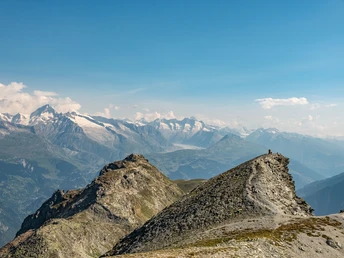
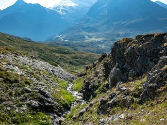
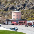
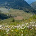
The hike to Spitzhorli starts at Simplonpass at the Simplon view. You walk past Alpstafel Hopsche and Hopschusee before the path gently begins to ascend. The trail runs far below the Tochuhorn before zig-zagging up to the plateau at Undru Rossusee. Passing the lake on the left, the trail ascends to Üsseri Nanzlicka. Here the path to Spitzhorli branches off to the right. The final ascent to the summit is steep and exhausting. The view from the summit cross is overwhelming. In good weather, even a view of the Great Aletsch Glacier is possible.
The same path leads back to Simplonpass.
Good to know
Pavements
Best to visit
Directions
Tour information
Loop Road
Summit
Equipment
Directions & Parking facilities
Author´s Tip / Recommendation of the author
Safety guidelines
Map
Nearby


