- Photos & Map
How would you like to arrive?
- Description
- Good to know
- Nearby
- 1:30 h
- 3.24 km
- 655 m
- 9 m
- 1,219 m
- 1,873 m
- 654 m
- Start: Gabi
- Destination: Furggu
Ascent
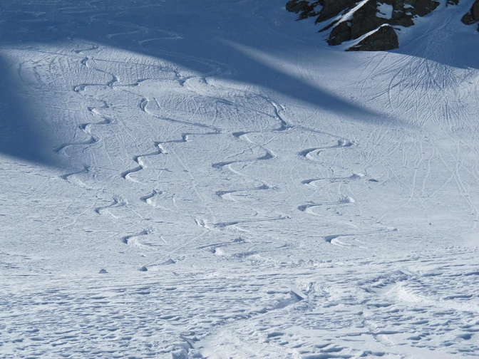
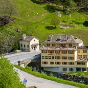
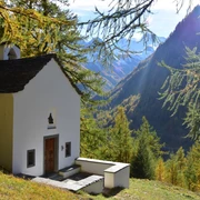
Gabi - On the left bank of the Laggin you go to the second bridge, which you cross and get to the Gsteihuis. To the left of the building, climb the steep mule track to the Feerberg forest clearing. If you start further up between the gallery and the bridge at around 1260m (parking space available), the first ascent via Schilt is more pleasant, and you reach the mule track at around 1,340 m. You climb up the wide ridge through the forest clearing, past a small path chapel at 1,560 m. You can also climb the open terrain via Mittluhuis to Alphittä at 1,880 m and over to Furggu or follow the old mule track to the Furggupass.
descent
Gabi - The descent is via the ascent track. Depending on the assessment of the dangers, this can also vary.
Good to know
Pavements
Best to visit
Directions
Equipment
Directions & Parking facilities
stop: Gabi
Additional information
Questions about the Brig Simplon region: www.brig-simplon.ch
Snowshoe and ski tour map 1: 50,000 is available from the Brig and Simplon tourist office.
274S Visp ISBN number: 978-3-302-20274-7
Literature
Author´s Tip / Recommendation of the author
Benefit from the new Simplon snowshoe and ski touring app. Earn points and get great rewards. You can purchase the app at simplon.app.
Safety guidelines
Disclaimer of liability
Walking on routes in alpine terrain requires good physical condition, serious preparation and technical knowledge in mountain sports. The ascent of the routes described is at your own risk. Brig Simplon Tourismus AG SAC and the authors assume no liability for the topicality, correctness and completeness of the information provided. Liability claims of any kind against Brig Simplon Tourismus AG or against the authors are excluded.
SOS: 144
Map
274S Visp ISBN number: 978-3-302-20274-7
Nearby


