- Photos & Map
How would you like to arrive?
- Description
- Good to know
- Nearby
Download GPX file
- 6:00 h
- 9.03 km
- 1,430 m
- 1,430 m
- 2,004 m
- 3,438 m
- 1,434 m
- Start: Simplon, Hospice
- Destination: Breithorn
Ascent
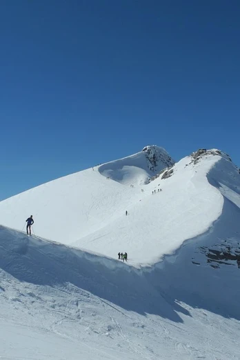
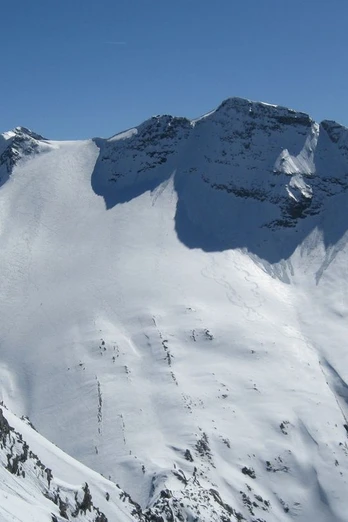
Simplon Pass - From the Simplon Pass at 2000 m, ascend left towards the high-voltage line and from there to the large rock at the end of the north ridge of the Hübschhorn. Cross the steep slope directly below the rock wall. Continue north of Hübschhorn, onto the Homattu glacier and to the Breithorn pass at 3355 m. From the pass, ascend right to the middle summit.
Descent
Simplon Pass - The descent follows the ascent track. Depending on the hazard assessment, this may vary.
Good to know
Best to visit
Directions
The Breithorn is the most popular and classic ski mountain at Simplon. A long ascent is rewarded with a fantastic view and an exciting descent.
Ascent
Simplon Pass - From the Simplon Pass at 2000 m, ascend left towards the high-voltage line and from there to the large rock at the end of the north ridge of the Hübschhorn. Cross the steep slope directly below the rock wall. Continue north of Hübschhorn, onto the Homattu glacier and to the Breithorn pass at 3355 m. From the pass, ascend right to the middle summit.
Descent
Simplon Pass - The descent follows the ascent track. Depending on the hazard assessment, this may vary.
A snowshoe and ski tour map at 1:50000 scale is available at the Brig and Simplon tourist offices.
274S Visp ISBN number: 978-3-302-20274-7
Tour information
Loop Road
Summit
Equipment
Complete snowshoe equipment plus rope, ice axe, and crampons.
Directions & Parking facilities
You can conveniently reach the Simplon Pass by post bus.
Stop: Simplon Kulm, Bellevue
Additional information
Author´s Tip / Recommendation of the author
Visit the restaurants at Simplon Pass for a refreshment.
Take advantage of the new Simplon snowshoe and ski tour app. Collect points and receive great rewards. The app is available at simplon.app.
Safety guidelines
You enter at your own risk. Rapid weather changes can occur. Be cautious and avoid danger.
Alpine, fairly difficult route. Only passable under very secure conditions.
The entire descent from Homattu pass to the road is south-facing and is therefore more exposed to snow melt. This route can only be done relatively early and under good winter conditions when the snow cover still reaches down to the pass road.
Disclaimer
Traversing routes in alpine terrain requires good fitness, serious preparation, and technical mountaineering skills. The described routes are undertaken at your own risk. Brig Simplon Tourism AG, SAC, and the authors assume no liability for the currency, correctness, and completeness of the information provided. Claims of any kind against Brig Simplon Tourism AG and the authors are excluded.
Emergency: 144
Map
Snowshoe and ski tour map 1:50000 is available at the Brig and Simplon tourist offices.
274S Visp ISBN number: 978-3-302-20274-7
Nearby


