


- 3:00 h
- 9.53 km
- 251 m
- 251 m
- 672 m
- 923 m
- 251 m
- Start: Brig, train station
- Destination: Brig, train station
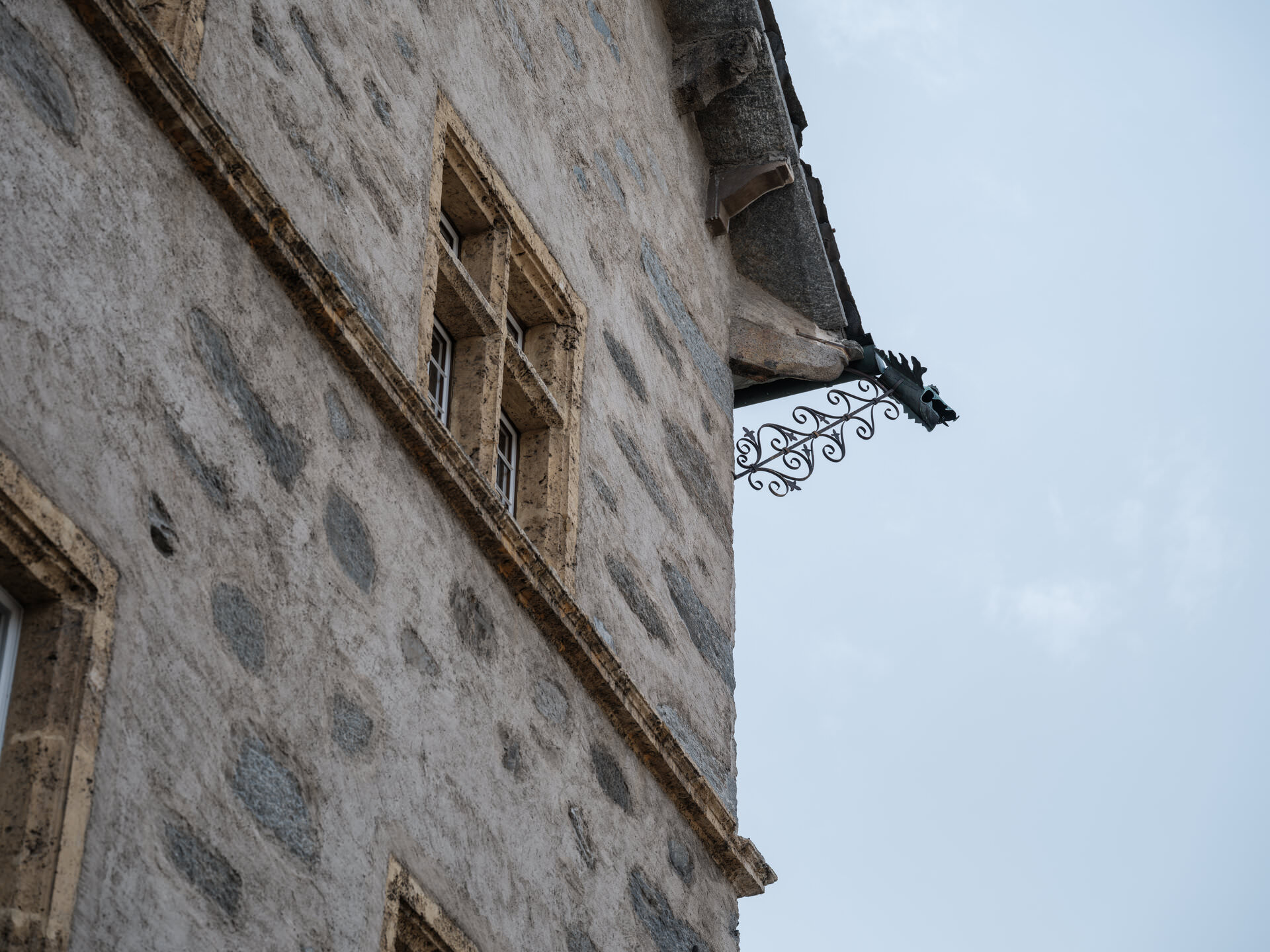
The route leads through the old town of Brig to the nature trail "Achera Biela" and over the Biela to Ried-Brig. After a guided village tour through the old Ried-Brig he descends into the Brig recreation area, the Grindji. Here you return along the Saltina to the centre of Brig.

Good to know
Pavements
Street
Trail
Path
Best to visit
suitable
Depends on weather
Directions
The route leads through the old town of Brig to the nature trail "Achera Biela" and over the Biela to Ried-Brig. After a guided village tour through the old Ried-Brig he descends into the Brig recreation area, the Grindji. Here you return along the Saltina to the centre of Brig.
Tour information
Cultural Interesting
Loop Road
Stop at an Inn
Equipment
Equipment adapted to the weather is indispensable. For all hikes it is strongly recommended to wear good, sturdy mountain boots.
Directions & Parking facilities
By train, post bus or private vehicle to Brig.
There is a multi-storey car park at the station.
Brig is easily accessible by train or post bus. There are various post bus stops along the route.
Additional information
Literature
Kulturführer zur Geografie, Geschichte, Wirtschaft, Sprache und Kultur. Brig-Glis, Naters und Ried-Brig. Hrsg. Volmar Schmid, Verlag: Wir-Walser, Visp, 2001.
Author´s Tip / Recommendation of the author
On the hike you will learn a lot about the villages in the Valais. Enjoy a gelato on the sun terraces of the restaurants along the way.
Safety guidelines
The hike is at your own risk. Insurance is the responsibility of the hiker.
Map
Hiking maps are available at the tourist office in Brig.
Nearby


