- Photos & Map
How would you like to arrive?
- Description
- Good to know
- Nearby
Download GPX file
- 2:30 h
- 4.58 km
- 600 m
- 33 m
- 2,000 m
- 2,417 m
- 417 m
- Start: Simplon, Monte Leone
- Destination: Simplon, Monte Leone
Ascent
Simplon Pass (2000 m) - Descend southwest from Simplon Pass to the alpine huts of Bielti. Ascend northwest along the stream, cross below the Staffel ridge, and proceed to the pass.
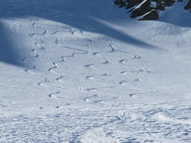
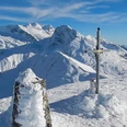
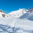
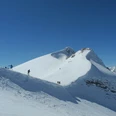
Bielti (1888 m) - Descend southwest from Simplon Pass to the holiday huts of Bielti and ascend southwest into the slope up to the entrance of Bistinen valley. With low to medium snow cover, the track of a mule path is visible. On Bistine terrace, head northwest and over the last steep slope to the summit. Route passes through dangerous steep slopes in the lower part; only under safe conditions!
Descent
Simplon Pass (2000 m) - same as ascent
Bielti (1888 m) - Descend over Bistine and the sometimes dangerous steep slopes into the plain of the Old Spittel. A short 30-minute ascent leads back to the pass height.
Good to know
Best to visit
Directions
Snowshoe and ski tour map 1:50000 is available at the Brig and Simplon tourism office.
274S Visp ISBN number: 978-3-302-20274-7
Tour information
Loop Road
Summit
Equipment
Directions & Parking facilities
Accessible by train and bus.
You can reach Simplon Pass by post bus from Brig or Iselle (Domodossola, IT).
Stop: Simplon, Monte Leone.
Additional information
More information on ski tours at: www.sac-cas.ch/de/huetten-und-touren
Questions about the Brig Simplon region: www.brig-simplon.ch
Literature
Further information at the tourism office or from the SAC.
Author´s Tip / Recommendation of the author
Take advantage of the new Simplon snowshoe and ski tour app. Collect points and receive great rewards. The app is available at simplon.app.
Safety guidelines
Safe skiing, alpine, fairly difficult route. Only accessible under very safe conditions.
Use at your own risk. Rapid weather changes may occur. Be careful - do not put yourself in danger.
Disclaimer:
Traversing routes in alpine terrain requires good fitness, serious preparation, and technical mountaineering skills. The described routes are traveled at your own risk. Brig Simplon Tourism AG, SAC, and the authors assume no liability for the timeliness, accuracy, or completeness of the provided information. Any claims against Brig Simplon Tourism AG and the authors are excluded.
SOS: 144
Map
Snowshoe and ski tour map 1:50000 is available at the Brig and Simplon tourism office.
274S Visp ISBN number: 978-3-302-20274-7
Nearby


