- Photos & Map
How would you like to arrive?
- Description
- Good to know
- Nearby
- 3:45 h
- 9.59 km
- 559 m
- 134 m
- 1,245 m
- 1,743 m
- 498 m
- Start: Schallberg, post bus stop
- Destination: Schallberg, post bus stop
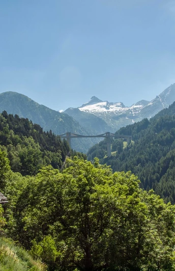
In the Middle Ages Ganter and Grund were a valley community inhabited all year round. First documentary mentions date back to the end of the 13th century. The hike through the historically, architecturally and botanically interesting Gantertal valley takes you past various sights.
Among other things, it is worth discovering:
- The Gantertal - the diverse vegetation of the "Little Valais"
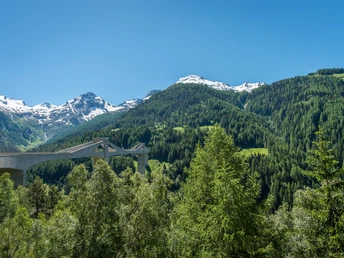
- Old and New Ganter Bridge
- Kalchofen
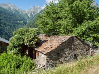
- Old houses, barn and chapels
- Iron mine in the Grund
Further information about the Ganter valley trail at: www.brig-simplon.ch
Good to know
Pavements
Best to visit
Directions
Schallberg – old Ganterbrücke bridge – Binna – Ganterwald – Rothwald, refuge
Tour information
Cultural Interesting
Equipment
Directions & Parking facilities
Additional information
Literature
You can read more about the Ganter valley trail, the Stockalperweg and history in the book "Wandern am Simplon".
"Wandern am Simplon" (ISBN: 978-3-905756-31-9)
The publication "Wandern am Simplon" (2008) is a veritable treasure trove for stories and facts from very different areas.
Fr. 48 plus packaging and shipping costs; to be purchased from
Ecomuseum Simplon
3907 Simplon Dorf
Author´s Tip / Recommendation of the author
Safety guidelines
Map
Nearby


