- Photos & Map
How would you like to arrive?
- Description
- Good to know
- Nearby
- 5:00 h
- 13.78 km
- 981 m
- 787 m
- 1,797 m
- 2,620 m
- 823 m
- Start: Engeloch, post bus stop
- Destination: Simplonpass, post bus stop
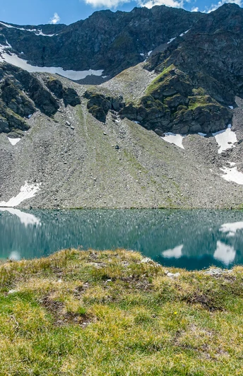
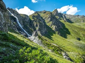
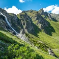
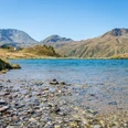
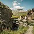
The trail leads from Engeloch via the Chlusmatta alpine sign and the following slope on the left bank of the Ritzibach up to the Wysse Bode (2113m). At the end of the bottom, the trail leads through a steep slope with rocky outcrops. These are overcome east (left) of the waterfall over the ramp. Soon after, turn right, cross the stream and bypass the rock that hides the beautiful Sirwoltensee behind it.
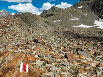
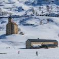
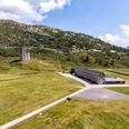
After a break at the clear mountain lake you continue on a good and marked path to the Sirwoltensattel. This is the highest point of the hike. Passing the former military accommodation, the trail now descends. Turning to the right, we continue our hike on the well maintained former military road. At the top of the pass there is a mighty stone man commemorating the border troops of the Second World War.
The slightly sloping path leads over the wide Bistina drifts. The short last ascent leads us to the post bus stop.
Good to know
Pavements
Best to visit
Directions
Engeloch - Sirwoltensee - Sirwoltensattel - Simplonpass
The start is at the bus stop in Engeloch on the south side of the Simplon Pass directly on the Simplonstrasse near Restaurant Engeloch. For car drivers there are parking places at the restaurant or 200 m north. The trail leads from Engeloch down to the Krummbach, over the Chlusmatta alpine sign and the following slope on the left bank of the Ritzibach up to the Wysse Bode (2113m). At the end of the bottom, the trail leads through a steep slope with rocky outcrops. These are overcome east (left) of the waterfall over the ramp. Soon after, turn right, cross the stream and bypass the rock that hides the beautiful Sirwoltensee behind it.
After a well-deserved break at the clear mountain lake, you continue on a good and marked path to the Sirwoltensattel. This is the highest point of the hike at 2621m. In front of us the Mattwaldhorn and the Gamsagletscher appear and opposite the gentle path leads over the Obere Fulmoos to the Gebidem. Passing the former military accommodation we descend into the Gebidemweg. Turning to the right we continue our hike on the well maintained former military road, past the Gale- and Magehorn to our right. Always staying at almost the same altitude, this path leads us to the Bistinenpass at the eastern flank of the Nanztal.
In front of us the view gradually widens down into the Rhone valley. The Bietschhorn rises majestically above. On the pass summit stands a mighty stone man with a plaque commemorating the border troops of the Second World War. The pass offers a wonderful view. Behind Spitzhorli in the north, the Bernese Alps are emblazoned with the eye-catching Bietschhorn. In the east we see the firn fields of the cold water glacier with Wasenhorn, Hübschhorn and Monte Leone. The slightly sloping path leads over the wide Bistina drifts.
Undemanding alpine flowers line the path. Bending left through the flank of the Bistihalden, the path descends to Bielti and Blatten. The memorial to the victims of an avalanche accident on the side of the path reminds hikers to be careful at all times. After a short ascent of 130 metres in 30 minutes, you reach the Simplonstrasse A9 with post bus stop at the Hotel Monte Leone. If you don't want to ascend from Bielti to the Simplon Pass (only in good visibility), leave the hiking trail in the descent from the Bistinen Pass and turn left. Tracks, which soon become denser, lead back to the northeast flank of the Straffelgrat on a path that runs parallel to a water channel. Soon you come to a well marked path that leads you to Hopsche and on to the Simplon Pass.
Tour information
Stop at an Inn
Equipment
Directions & Parking facilities
Additional information
Author´s Tip / Recommendation of the author
Safety guidelines
Map
Nearby


