- Photos & Map
How would you like to arrive?
- Description
- Good to know
- Nearby
- 2:45 h
- 8.16 km
- 318 m
- 328 m
- 647 m
- 975 m
- 328 m
- Start: Gamsen, village
- Destination: Visp
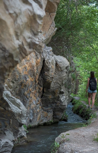
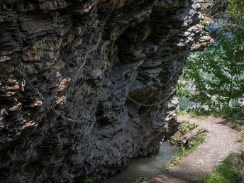
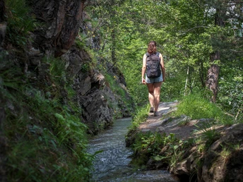
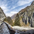
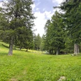
Starting in Gamsen village, signposts lead you into the forest towards Eyholz. From here, the hike follows the spectacular Visperi irrigation channel. Some sections of the terrain are rocky and steep, but most of these passages are secured with handrails – however, sure-footedness and a head for heights are essential for this hike. Towards the end of the hike, you will reach the Schlegel, which – driven by a water wheel – provided the Vispern with information about the flow of water through its knocking sounds. Through the chestnut forest and lush meadows, you will reach the town of Visp.
“Suonen” is the name given to the historic irrigation channels in Valais, most of which are still preserved or even in operation today. They were used by farmers to channel precious water from mountain streams to orchards, pastures, and vineyards on the mountain slopes to protect them from drought. The Visperi draws its water from the Gamsa in the Nanztal valley, then crosses forests, fields, and steep rocky passages, finally ending above Visp.
Good to know
Pavements
Best to visit
Directions
Tour information
Stop at an Inn
Equipment
Directions & Parking facilities
You can drive to Gamsen by car.
Additional information
Literature
Author´s Tip / Recommendation of the author
Safety guidelines
Sure-footedness and a head for heights are essential for this hike.
Map
Nearby


